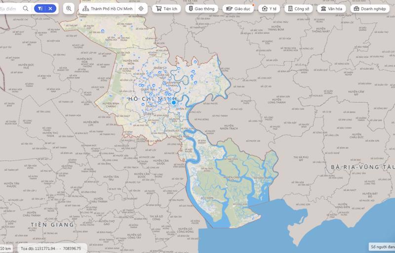
The Ho Chi Minh City Department of Information and Communications began providing instructions on October 25 for the use, exploitation, integration, and sharing of a digital map database system.
The “Ho Chi Minh City Digital Map” will serve as a common-use digital map for the city, replacing existing applications such as Openstreet Maps and Google Maps. It provides a diverse collection of base maps, including administrative maps, transportation maps, topographic maps, satellite maps, and 3D models.
It will also enable users to easily access and explore information on addresses, traffic routes, education, healthcare, the environment, administration, and many other areas within the city.
Deputy Director of the Department of Information and Communications Vo Thi Trung Trinh said the digital map’s data will be frequently updated from official and reliable sources and integrated from departments, sectors, and districts. It will also help users share their location with others through Facebook, Zalo, Twitter, Mail, Telegram, and QR codes.
Users can gain access to the map at https://bando.tphcm.gov.vn/gis-portal or download the Ho Chi Minh City Digital Map app on their smartphone.


 Google translate